Firewood in Belgrave South
Belgrave South is acreage on the far side of Melbourne's growth boundary, with no town blocks on the planning map. There is room here for a big load and a stack well away from the house.
We connect you with a local firewood supplier who works in the hills.
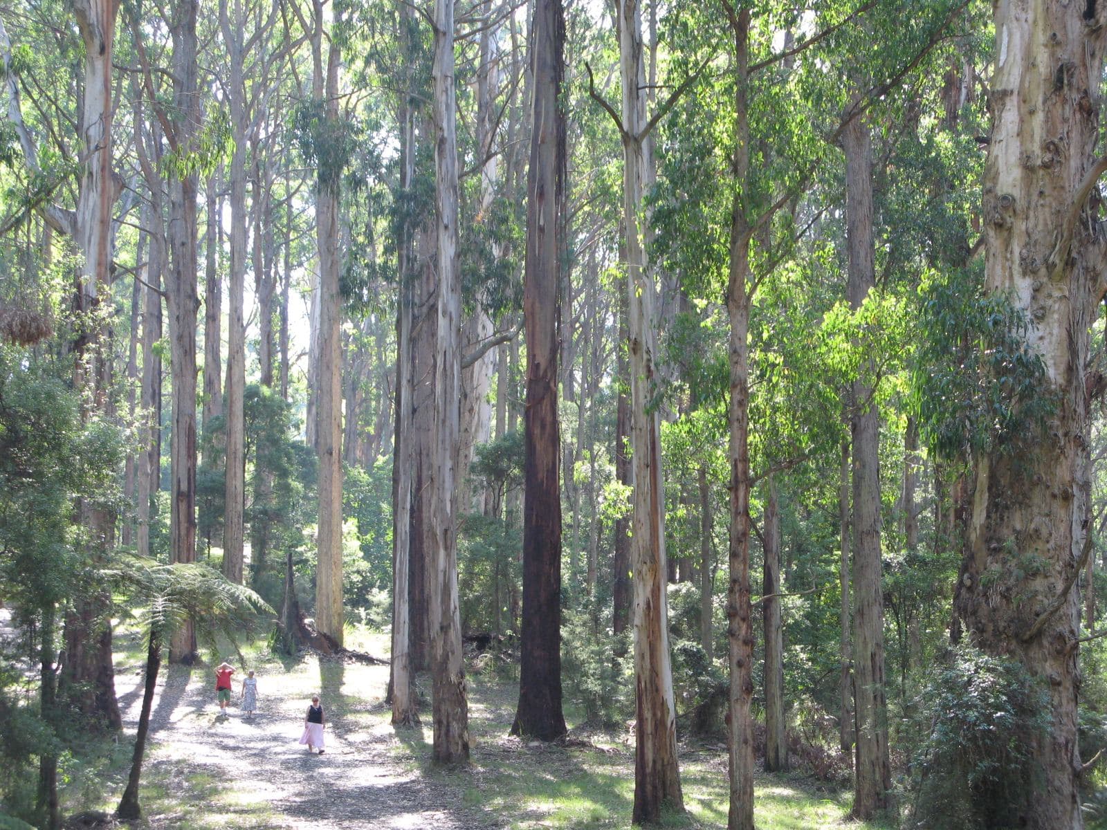
Ask for a quoteDandenong Ranges. Photo: Nick Carson, CC BY 3.0

Outside the growth boundary
Most of Belgrave South lies beyond Melbourne's Urban Growth Boundary, in the foothills of the ranges. The planning map has no residential zone here. About three fifths is green wedge land and most of the rest is Rural Conservation, so homes sit on acreage rather than town lots. A full trailer or truck load is easier to place on these blocks than in town.
Unlike Belgrave, Belgrave South has almost none of the Erosion Management Overlay. The Environmental Significance Overlay covers about half of it instead.
Checked 25 October 2026 against Wikipedia: Belgrave South and Vicmap Planning, the state's zone and overlay maps (DataVic), measured across the suburb.
The woodpile and the fire season
The Ash Wednesday fires of February 1983 went through Belgrave South and its neighbours. The Bushfire Management Overlay now covers about four fifths of the suburb. On acreage there is room to follow CFA's advice properly: woodpiles kept at least 10 m from the house, since a stack close by in summer catches embers. The fire season guide covers what changes on a Total Fire Ban day.
Checked 25 October 2026 against Wikipedia: Belgrave South, Vicmap Planning, the state's zone and overlay maps (DataVic), measured across the suburb, CFA: Landscaping for Bushfire (version 3, June 2022) and CFA: preparing for bushfire season.
Baluk Willam stays as it is
The 67.5-hectare Baluk Willam Nature Conservation Reserve, known for more than 70 orchid species, is in Belgrave South. Firewood can't be collected in conservation parks or bushland reserves. The legal places to collect are designated State forest areas, in season, and this spring's are near Powelltown, Warburton and Wesburn.
Checked 25 October 2026 against Wikipedia: Belgrave South, Parks Victoria: using firewood, Conservation Regulator: collecting firewood and Forest Fire Management Victoria: find a firewood collection area.
Burning off on acreage
Belgrave South is in Yarra Ranges, which puts each address in an urban, bushland or rural burning category. Check yours on the council's burning-off page before burning a pile. Heater smoke complaints go to the council on 1300 368 333.
Checked 25 October 2026 against Yarra Ranges Council: burning off and Yarra Ranges Council: wood heaters, burning off and air quality.
Bordering Belgrave South
- Belgrave and Belgrave Heights
- Town and low density blocks, all of it under the bushfire overlay.
- Selby
- Hillier, with the erosion overlay over about half the land.
Checked 25 October 2026 against Wikipedia: Belgrave South and Vicmap Planning, the state's zone and overlay maps (DataVic), measured across the suburb.
Ask for a quote
Tell us where you are and what needs doing, and we'll contact you as soon as possible.