Firewood in Belgrave Heights
Belgrave Heights burned in 1983 and again in 2009, and all of it is under the bushfire overlay. That decides where the woodpile goes.
We connect you with a local firewood supplier who works in the hills.
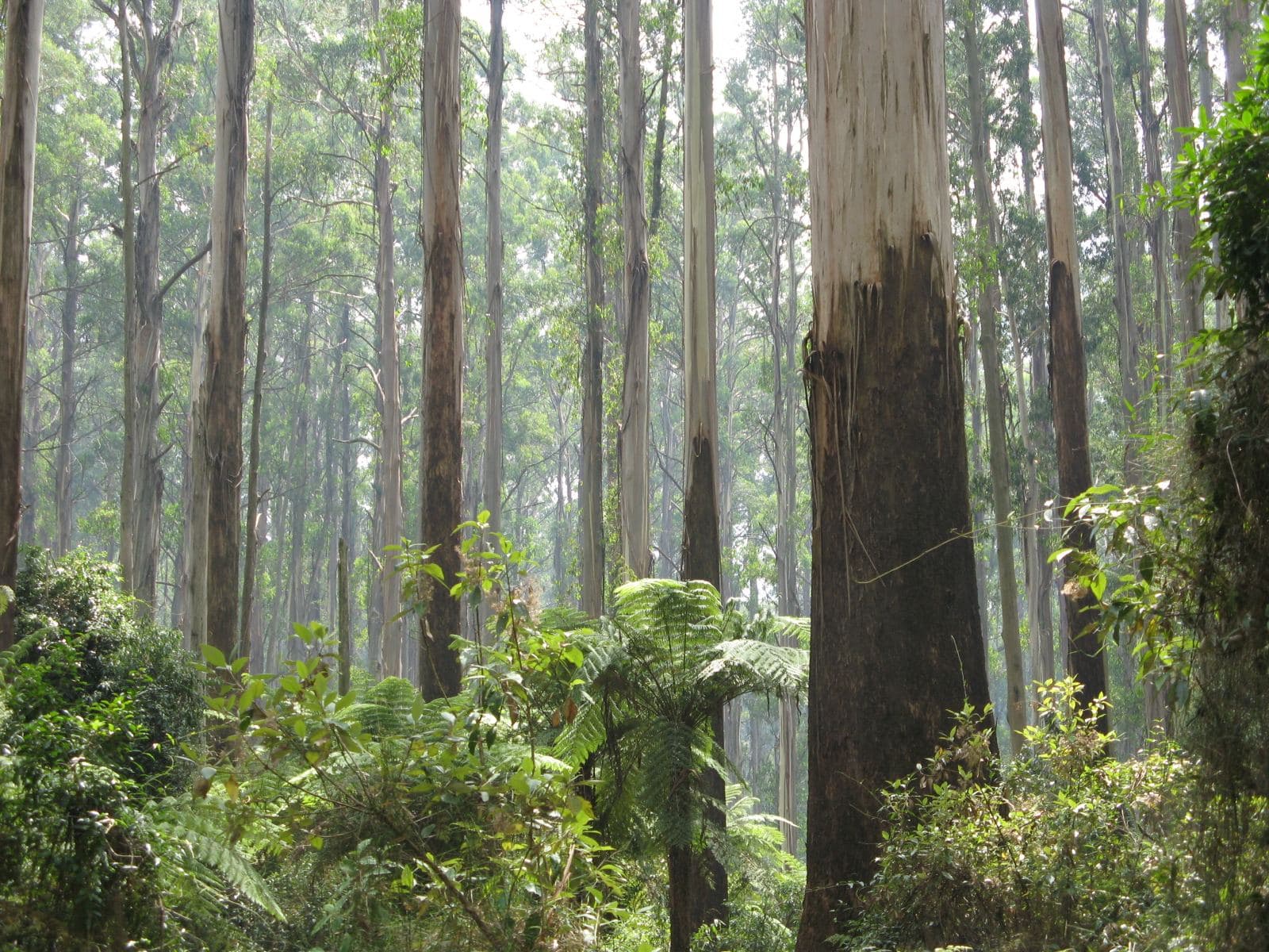
Ask for a quoteDandenong Ranges. Photo: Nick Carson, CC BY 3.0

A suburb that has burned
Belgrave Heights was settled from the late 1930s. In February 1983 the Ash Wednesday fires went through it, and 238 houses were lost across the area. In February 2009, two weeks after Black Saturday, another fire burned about 300 hectares around Birdsland.
The Bushfire Management Overlay covers all of Belgrave Heights. CFA's guidance is to keep woodpiles at least 10 m from the house, because a stack beside the house in summer is an ember trap. If the winter's wood is stacked on the verandah, use it up or move it before the fire season.
Checked 25 October 2026 against Wikipedia: Belgrave Heights, Vicmap Planning, the state's zone and overlay maps (DataVic), measured across the suburb, CFA: Landscaping for Bushfire (version 3, June 2022) and CFA: preparing for bushfire season.
Birdsland is not a woodlot
Birdsland is a 75-hectare bushland park the old Shire of Sherbrooke bought in 1982 for public use, and about a third of the suburb is park or reserve on the planning map. Fallen timber there stays where it is. Collecting firewood is allowed only in designated State forest areas, and this spring's are all out around Powelltown and Warburton. The collecting guide has the dates.
Checked 25 October 2026 against Wikipedia: Belgrave Heights, Vicmap Planning, the state's zone and overlay maps (DataVic), measured across the suburb, Conservation Regulator: collecting firewood and Forest Fire Management Victoria: find a firewood collection area.
Blocks and drives
The houses are mostly on Low Density Residential land, about an eighth of the area, with green wedge land around them. The Erosion Management Overlay covers about a fifth of the residential land, so some drives are steep and others are not. Mention the slope when asking for a quote.
Checked 25 October 2026 against Vicmap Planning, the state's zone and overlay maps (DataVic), measured across the suburb.
Yarra Ranges rules
Burning off depends on the address's category, urban, bushland or rural, which the council's burning-off page will tell you. Smoke from a heater is a council matter on 1300 368 333. The wood smoke guide explains what makes a heater smoke.
Checked 25 October 2026 against Yarra Ranges Council: burning off and Yarra Ranges Council: wood heaters, burning off and air quality.
Close by
- Belgrave South
- Went through Ash Wednesday too. More rural land and no residential zone.
Checked 25 October 2026 against Wikipedia: Belgrave Heights and Vicmap Planning, the state's zone and overlay maps (DataVic), measured across the suburb.
Ask for a quote
Tell us where you are and what needs doing, and we'll contact you as soon as possible.