Firewood in Belgrave
The bushfire overlay covers all of Belgrave, and most of its blocks are steep. Both decide where a load of firewood ends up.
We connect you with a local firewood supplier who works in the hills.
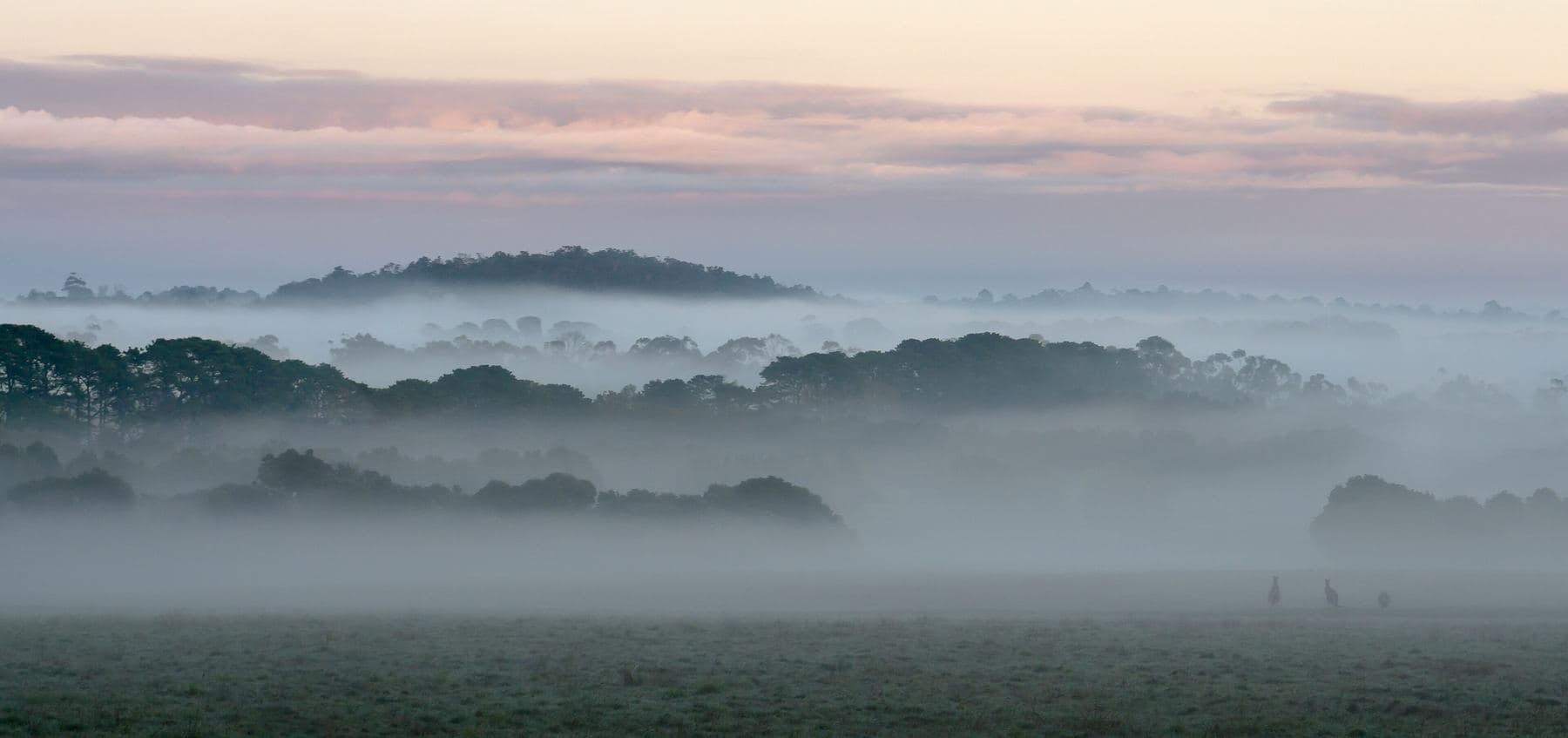
Ask for a quoteDandenong Ranges. Photo: Uzman Naleer, CC BY-SA 4.0

Every block under the bushfire overlay
The Bushfire Management Overlay covers the whole of Belgrave on the state's planning maps, town centre included. That makes CFA's woodpile advice a practical one here: its landscaping guide puts woodpiles at least 10 m from the house, and a summer stack against the wall is an ember trap.
About two thirds of Belgrave is Low Density Residential, so most blocks have room for a stack out past 10 m. On the smaller lots near Main Street there may not be, and the winter supply is better bought in smaller loads.
Checked 25 October 2026 against Vicmap Planning, the state's zone and overlay maps (DataVic), measured across the suburb, CFA: Landscaping for Bushfire (version 3, June 2022) and CFA: preparing for bushfire season.
Getting a load in
The Erosion Management Overlay, which marks land at risk of slipping, covers about two thirds of the suburb's house blocks. Steep drives are the norm, and a tipped load at the gate can mean a long carry. Say where the wood is to go, and whether a truck can turn, when you ask for a quote.
Checked 25 October 2026 against Vicmap Planning, the state's zone and overlay maps (DataVic), measured across the suburb.
Smoke over the town
Belgrave sits low in the foothills, at about 200 m, with Monbulk Creek running through Belgrave Lake Park. Its lantern parade is held on the winter solstice, the longest night of the heating season. Dry, seasoned wood is what keeps a chimney from smoking out the street: EPA Victoria's advice is at least 8 months under cover. Smoke questions go to Yarra Ranges Council on 1300 368 333.
Checked 25 October 2026 against Wikipedia: Belgrave, Victoria, EPA Victoria: manage smoke from wood heaters and Yarra Ranges Council: wood heaters, burning off and air quality.
Burning off the prunings
Yarra Ranges sorts every address into an urban, bushland or rural burning category, and the days and permits differ between them. The council's burning-off page has the address lookup. A fire pit is allowed at any time except a Total Fire Ban day, as long as it doesn't make offensive smoke. In the Fire Danger Period, CFA's conditions apply too.
Checked 25 October 2026 against Yarra Ranges Council: burning off and CFA: can I or can't I?.
Around Belgrave
- Tecoma, Upwey, Selby and Belgrave Heights
- The same council and its burning categories, and the bushfire overlay over all or nearly all of each.
- Kallista and Sherbrooke
- Up the hill beside Sherbrooke Forest, which is part of Dandenong Ranges National Park. Collecting firewood there isn't allowed.
- Belgrave South
- Mostly green wedge and rural conservation land, with the bushfire overlay over about four fifths of it.
To collect your own, the open areas this spring are State forest near Powelltown and Warburton. The collecting guide sets out when and how much.
Checked 25 October 2026 against Vicmap Planning, the state's zone and overlay maps (DataVic), measured across the suburb, Wikipedia: Kallista, Victoria, Parks Victoria: using firewood and Forest Fire Management Victoria: find a firewood collection area.
Ask for a quote
Tell us where you are and what needs doing, and we'll contact you as soon as possible.