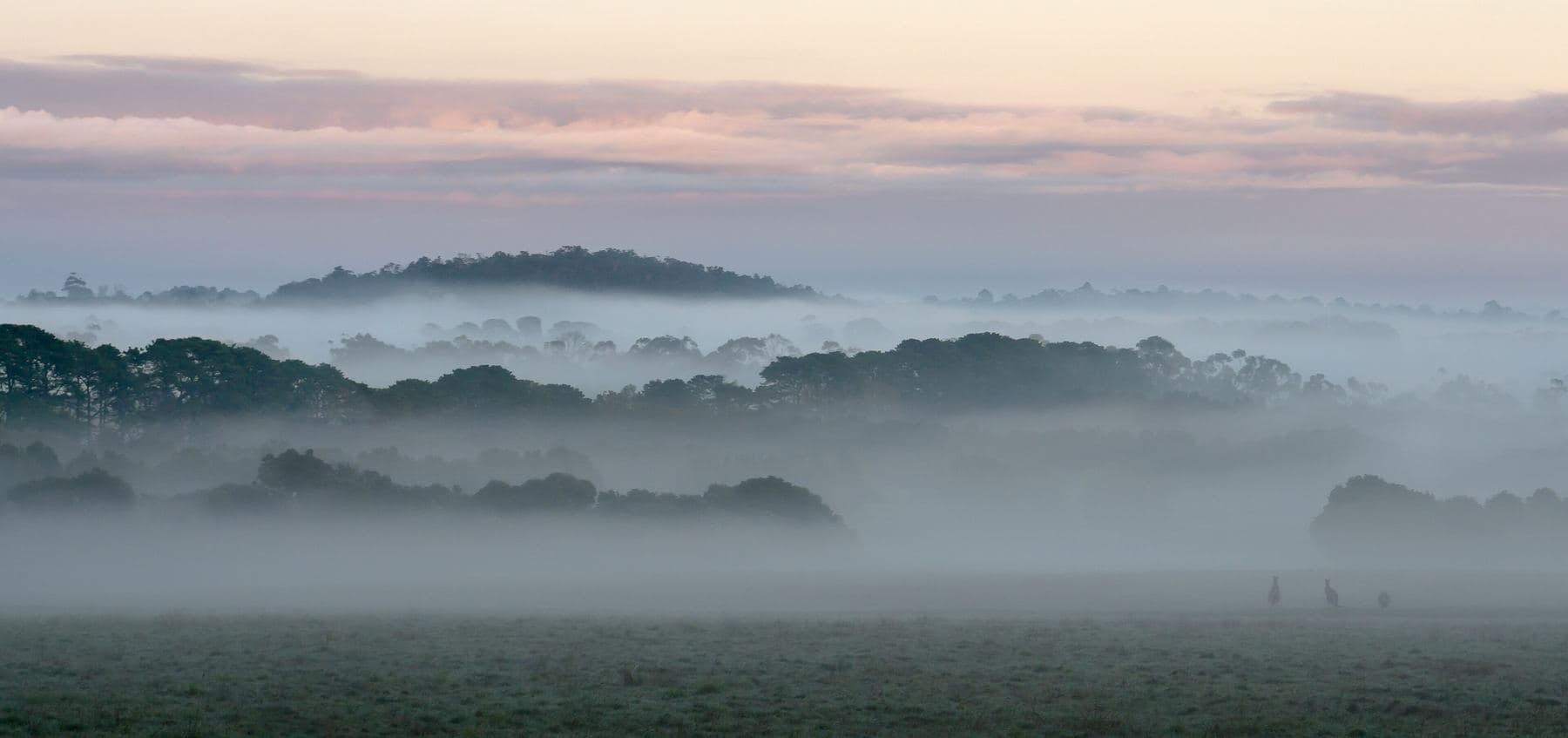
Firewood in Gembrook
Gembrook once had more than 20 timber mills. There is nowhere in Cardinia to collect firewood now, so a winter's supply is bought in.
We connect you with a local firewood supplier who works in the hills.
Ask for a quoteDandenong Ranges. Photo: Uzman Naleer, CC BY-SA 4.0

Twenty mills and a kiln
Gembrook was settled in 1873 for farming and timber. More than 20 timber mills worked the area, moving logs out on narrow-gauge tramways, until fires in 1926 and 1939 burnt many of them. Kurth Kiln, about 7 km north of town on Tomahawk Creek, is on the Victorian Heritage Register.
The kiln sits in Kurth Kiln Regional Park, and it is not a place to gather wood. There are no firewood collection areas in Cardinia Shire at all. This spring's are all State forest in the Yarra district, around Powelltown and Warburton; the collecting guide gives the dates.
Checked 25 October 2026 against Wikipedia: Gembrook, Victoria, Forest Fire Management Victoria: find a firewood collection area and Conservation Regulator: collecting firewood.
A big locality with a small town
Gembrook covers about 202 km², and around two thirds of it is parks and reserves on the planning maps. Most of the rest is rural conservation land and green wedge. The township's house blocks are a tiny share of the whole.
So a delivery might be to a town block near the Puffing Billy station or to a rural property well out of town. The address matters to the quote. The buying guide covers how a load should be measured and what to ask.
Checked 25 October 2026 against Wikipedia: Gembrook, Victoria and Vicmap Planning, the state's zone and overlay maps (DataVic), measured across the suburb.
Woodpiles and fire season
The Bushfire Management Overlay covers most of Gembrook's land, though less than half of its house blocks. CFA's advice applies either way: woodpiles at least 10 m from the house, and nothing stacked close by in summer.
Cardinia Shire allows burning only to reduce bushfire fuel. For a neighbour's heater smoke, it asks you to talk to them first and then contact the council.
Checked 25 October 2026 against Vicmap Planning, the state's zone and overlay maps (DataVic), measured across the suburb, CFA: Landscaping for Bushfire (version 3, June 2022), CFA: preparing for bushfire season and Cardinia Shire Council: burning.
Back towards the ranges
- Cockatoo
- Cardinia, with the bushfire overlay over every house block.
- Nangana
- Cardinia too, almost all green wedge farmland.
Checked 25 October 2026 against Vicmap Planning, the state's zone and overlay maps (DataVic), measured across the suburb.
Ask for a quote
Tell us where you are and what needs doing, and we'll contact you as soon as possible.