Firewood in Mount Dandenong
Mount Dandenong was settled on 10-acre timber farms in 1893. It runs several degrees colder than the city, with snow most years.
We connect you with a local firewood supplier who works in the hills.
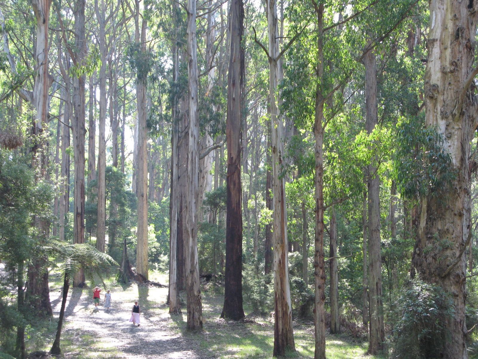
Ask for a quoteDandenong Ranges. Photo: Nick Carson, CC BY 3.0

Colder and cloudier than the city
Daytime temperatures in Mount Dandenong usually run 4 to 6 °C below central Melbourne's, and the town is much cloudier, most of all in winter. The weather station here has recorded about 1,166 mm of rain a year over some 184 wet days. Snow is fairly common above 500 m between June and October, and in 2006 it fell on Christmas Day.
For a woodpile, that means wet air for much of the year. EPA Victoria's advice is dry, seasoned hardwood, kept for at least 8 months under cover with air flowing through it. A tarp tied down tight over a stack on the ground does the opposite. The drying guide goes through it.
Checked 25 October 2026 against Wikipedia: Mount Dandenong, Victoria and EPA Victoria: manage smoke from wood heaters.
Ten-acre timber farms
The town was settled in 1893, when the government laid out 10-acre farms on the mountain for harvesting timber. On today's planning maps nearly two thirds of the locality is public conservation land and about a third is green wedge. Almost none is zoned residential.
Checked 25 October 2026 against Wikipedia: Mount Dandenong, Victoria and Vicmap Planning, the state's zone and overlay maps (DataVic), measured across the suburb.
The overlay and the slope
All of Mount Dandenong is under the Bushfire Management Overlay. CFA says to keep woodpiles away from the house, and its landscaping guide puts them at least 10 m out, because a stack beside the wall catches embers in summer. Nearly a third of the locality also carries the Erosion Management Overlay, which marks land at risk of slipping. Tell the supplier how steep the drive is and where the stack will go.
Checked 25 October 2026 against Vicmap Planning, the state's zone and overlay maps (DataVic), measured across the suburb, CFA: Landscaping for Bushfire (version 3, June 2022) and CFA: preparing for bushfire season.
Yarra Ranges rules
Burning off depends on the address. Yarra Ranges groups properties into urban, bushland and rural categories, each with its own days and permits. Fire pits are allowed except on Total Fire Ban days if the smoke isn't offensive. In the Fire Danger Period, CFA's conditions apply too. Smoke from a neighbour's heater goes to the council on 1300 368 333.
Checked 25 October 2026 against Yarra Ranges Council: burning off, CFA: can I or can't I? and Yarra Ranges Council: wood heaters, burning off and air quality.
Down the mountain
- Olinda, Kalorama and Sassafras
- Up on the ridge, mostly public land and green wedge, all under the bushfire overlay.
- Montrose and Kilsyth
- The foothills, with more house blocks and less bushfire overlay. Part of Kilsyth is in Maroondah, where incinerators have been banned since 1995.
- The Basin
- Knox City Council, which has its own heater and burning rules.
Checked 25 October 2026 against Vicmap Planning, the state's zone and overlay maps (DataVic), measured across the suburb, Maroondah City Council: burning off and Knox City Council: wood heaters and woodsmoke.
Ask for a quote
Tell us where you are and what needs doing, and we'll contact you as soon as possible.