Firewood in Montrose
Montrose was once called Double Pitts, after the saw pits of its timber trade. It climbs to 324 m on the foot of Mount Dandenong, and the wet that grew its orchards is the woodpile's problem now.
We connect you with a local firewood supplier who works in the hills.
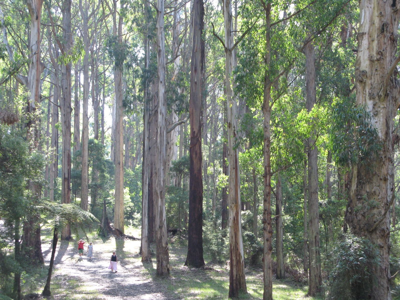
Ask for a quoteDandenong Ranges. Photo: Nick Carson, CC BY 3.0

Double Pitts
Before James Walker renamed it Montrose in 1892, the settlement was known as Double Pitts, after the two-man saw pits of the local timber trade. Orchards followed, helped by the high rainfall. Today the suburb runs from about 91 m up to 324 m on the foothills of Mount Dandenong, and in 1961 a bushfire here destroyed 23 houses.
Checked 25 October 2026 against Wikipedia: Montrose, Victoria.
Where the overlay falls
On the state's planning maps the Bushfire Management Overlay covers about three quarters of Montrose's land, and about half of its house blocks. About a third of the suburb is green wedge and a fifth is low density housing, so many properties have the room to keep a summer stack well away from the house. CFA's landscaping guide puts woodpiles at least 10 m from the house, and in summer a woodpile by the wall is an ember trap. The fire season guide covers ban days as well.
Checked 25 October 2026 against Vicmap Planning, the state's zone and overlay maps (DataVic), measured across the suburb, CFA: Landscaping for Bushfire (version 3, June 2022) and CFA: preparing for bushfire season.
Keeping it dry in a wet suburb
Rain that suited the orchards is hard on an open woodpile. EPA Victoria's advice is to store wood for at least 8 months, covered, with air moving through the stack, so a cover over the top matters as much as the air around the sides. The drying guide has the detail.
Checked 25 October 2026 against Wikipedia: Montrose, Victoria and EPA Victoria: manage smoke from wood heaters.
Yarra Ranges rules
All of Montrose is in Yarra Ranges. The council puts each address in an urban, bushland or rural burning category, with its own days and permits, and its burning-off page looks yours up. Questions about a neighbour's chimney smoke go to the council on 1300 368 333.
Checked 25 October 2026 against Vicmap Planning, the state's zone and overlay maps (DataVic), measured across the suburb, Yarra Ranges Council: burning off and Yarra Ranges Council: wood heaters, burning off and air quality.
Either side of Montrose
- Mount Evelyn
- The same council, with the bushfire overlay over nearly every house block.
- Kilsyth
- Lower and more suburban, with little overlay, and a corner of it in Maroondah.
- Mount Dandenong, Kalorama and Silvan
- Up the range, where the overlay covers all of Mount Dandenong and Kalorama and about two thirds of Silvan.
If you would rather collect your own, this spring's areas are State forest around Wesburn, Warburton and Powelltown, and the collecting guide explains the limits.
Checked 25 October 2026 against Vicmap Planning, the state's zone and overlay maps (DataVic), measured across the suburb and Forest Fire Management Victoria: find a firewood collection area.
Ask for a quote
Tell us where you are and what needs doing, and we'll contact you as soon as possible.