Firewood in Kalorama
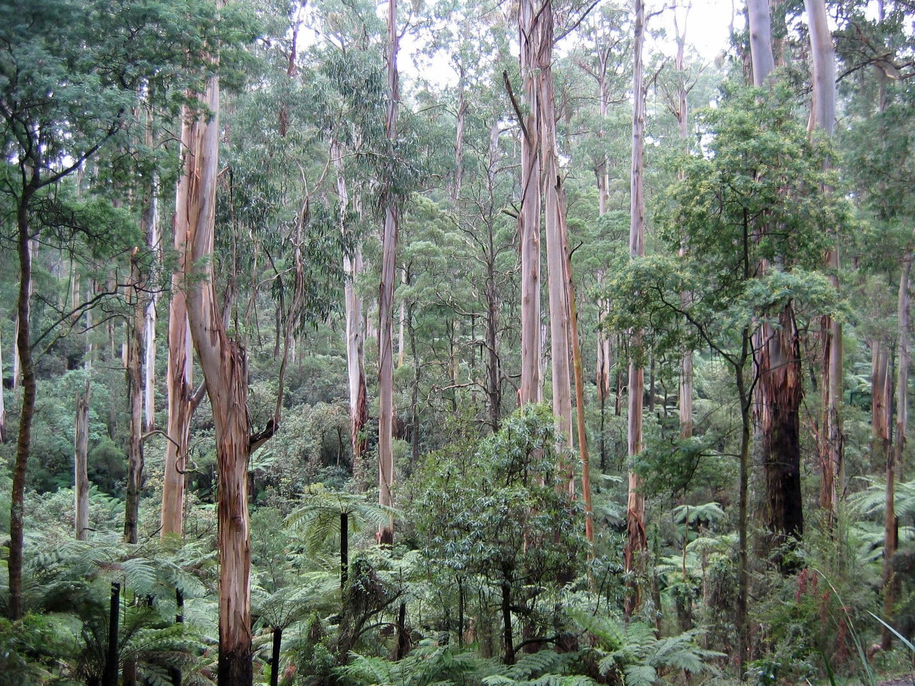
Kalorama is mountain ash forest on steep ground, with more than half of it under the erosion overlay. Getting a load to the woodshed is the hard part.
We connect you with a local firewood supplier who works in the hills.
Ask for a quoteDandenong Ranges. Photo: Patche99z, Public domain

More than half of it at risk of slipping
The Erosion Management Overlay covers more than half of Kalorama, a bigger share than in Olinda or Mount Dandenong next door. The overlay marks land that is steep or unstable. On a steep drive the truck may not get close to the house, and the last stretch can be a barrow job. Say how far the stack is from the gate, and how steep the way is, when you ask for a quote. The buying guide covers what a quote should state.
Checked 25 October 2026 against Vicmap Planning, the state's zone and overlay maps (DataVic), measured across the suburb.
Mountain ash country
Kalorama was first settled by Europeans around 1855. Its forests are wet sclerophyll, mostly eucalypts, mountain ash among them, and lyrebirds call from the deeper gullies. The Five Ways lookout looks out over Silvan Reservoir. About half the locality is public conservation land, about a tenth is rural conservation zone, and most of the rest is green wedge.
The bushfire overlay covers all of it. CFA's landscaping guide puts woodpiles at least 10 m from the house, and its summer advice is the same in plainer words: a stack against the wall holds embers.
Checked 25 October 2026 against Wikipedia: Kalorama, Victoria, Vicmap Planning, the state's zone and overlay maps (DataVic), measured across the suburb, CFA: Landscaping for Bushfire (version 3, June 2022) and CFA: preparing for bushfire season.
Burning and smoke
Kalorama is in Yarra Ranges, which sets burning days and permits by address: urban, bushland or rural. A fire pit is fine except on a Total Fire Ban day, if the smoke isn't offensive. In the Fire Danger Period, CFA's conditions apply too. Heater smoke questions go to the council on 1300 368 333.
Checked 25 October 2026 against Yarra Ranges Council: burning off, CFA: can I or can't I? and Yarra Ranges Council: wood heaters, burning off and air quality.
Either side of Kalorama
- Mount Dandenong and Olinda
- Higher on the range, the same overlay over every block and less of the erosion overlay.
- Silvan, Montrose and Mount Evelyn
- Farmland and foothill suburbs where the bushfire overlay covers most land but not all.
Checked 25 October 2026 against Vicmap Planning, the state's zone and overlay maps (DataVic), measured across the suburb.
Ask for a quote
Tell us where you are and what needs doing, and we'll contact you as soon as possible.