Firewood in Upper Ferntree Gully
Upper Ferntree Gully was the end of the electric line from Melbourne and the way into the hills. Now the line that matters for a wood heater is the council boundary through it.
We connect you with a local firewood supplier who works in the hills.
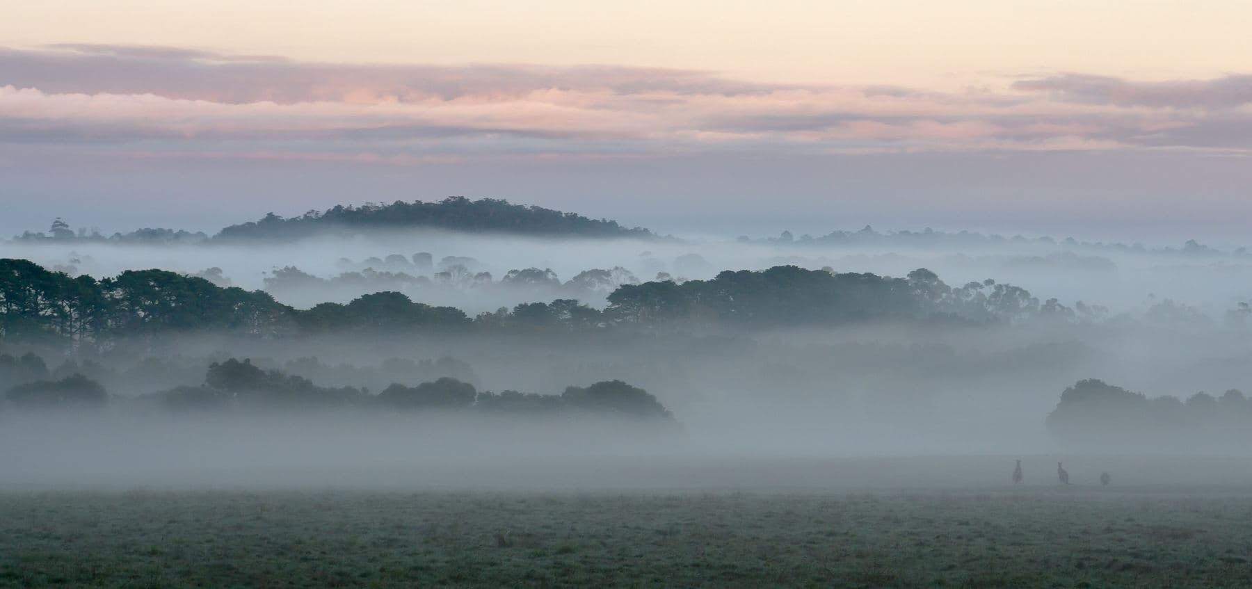
Ask for a quoteDandenong Ranges. Photo: Uzman Naleer, CC BY-SA 4.0

Knox or Yarra Ranges
Upper Ferntree Gully is split between two councils: Knox has about two thirds of it and Yarra Ranges the rest. The address decides whose rules apply, so check the rates notice before burning off or ringing about smoke.
On the Knox side, burning off needs a Permit to Burn, and none is issued in the Fire Danger Period, June, July or on a Total Fire Ban day. Knox wants heaters certified to AS 4012 and AS 4013 and installed by a licensed person, and smoke complaints go from a talk with the neighbour to the Dispute Settlement Centre of Victoria, then the council on 9298 8000.
On the Yarra Ranges side, each address has an urban, bushland or rural burning category with its own days and permits. Smoke questions go to 1300 368 333.
Checked 25 October 2026 against Wikipedia: Upper Ferntree Gully, Victoria, Vicmap Planning, the state's zone and overlay maps (DataVic), measured across the suburb, Knox City Council: burning off, Knox City Council: wood heaters and woodsmoke, Yarra Ranges Council: burning off and Yarra Ranges Council: wood heaters, burning off and air quality.
Below the 1000 Steps
Ferntree Gully Park, with the 1000 Steps that commemorate the Kokoda Track, is part of the Dandenong Ranges National Park. Nothing can be collected for firewood in a national park, fallen branches included. This spring's collection areas are State forest around Powelltown and Warburton; the collecting guide has the seasons.
Checked 25 October 2026 against Wikipedia: Upper Ferntree Gully, Victoria, Parks Victoria: using firewood and Forest Fire Management Victoria: find a firewood collection area.
Half under the overlay, some of it steep
The Bushfire Management Overlay covers about half the suburb, and a little over half of its house blocks. On those, CFA's landscaping guide puts woodpiles at least 10 m from the house. Nearly a quarter of the house blocks are under the Erosion Management Overlay, which marks land prone to slipping, so a steep drive is common enough to mention when you ask for a quote.
About twice as much of the housing land is suburban blocks as low density acreage. Where there isn't room for a stack past 10 m, smaller loads are easier to keep in the right place.
Checked 25 October 2026 against Vicmap Planning, the state's zone and overlay maps (DataVic), measured across the suburb, CFA: Landscaping for Bushfire (version 3, June 2022) and CFA: preparing for bushfire season.
Down the line and up the hill
- Ferntree Gully
- All Knox, mostly suburban streets, with the overlay only near the park.
Checked 25 October 2026 against Wikipedia: Upper Ferntree Gully, Victoria and Vicmap Planning, the state's zone and overlay maps (DataVic), measured across the suburb.
Ask for a quote
Tell us where you are and what needs doing, and we'll contact you as soon as possible.