Firewood in Upwey
Upwey was once Mast Gully, named for the ship masts cut there in 1850. It has had ten bushfires since 1922, and the whole suburb is under the bushfire overlay.
We connect you with a local firewood supplier who works in the hills.
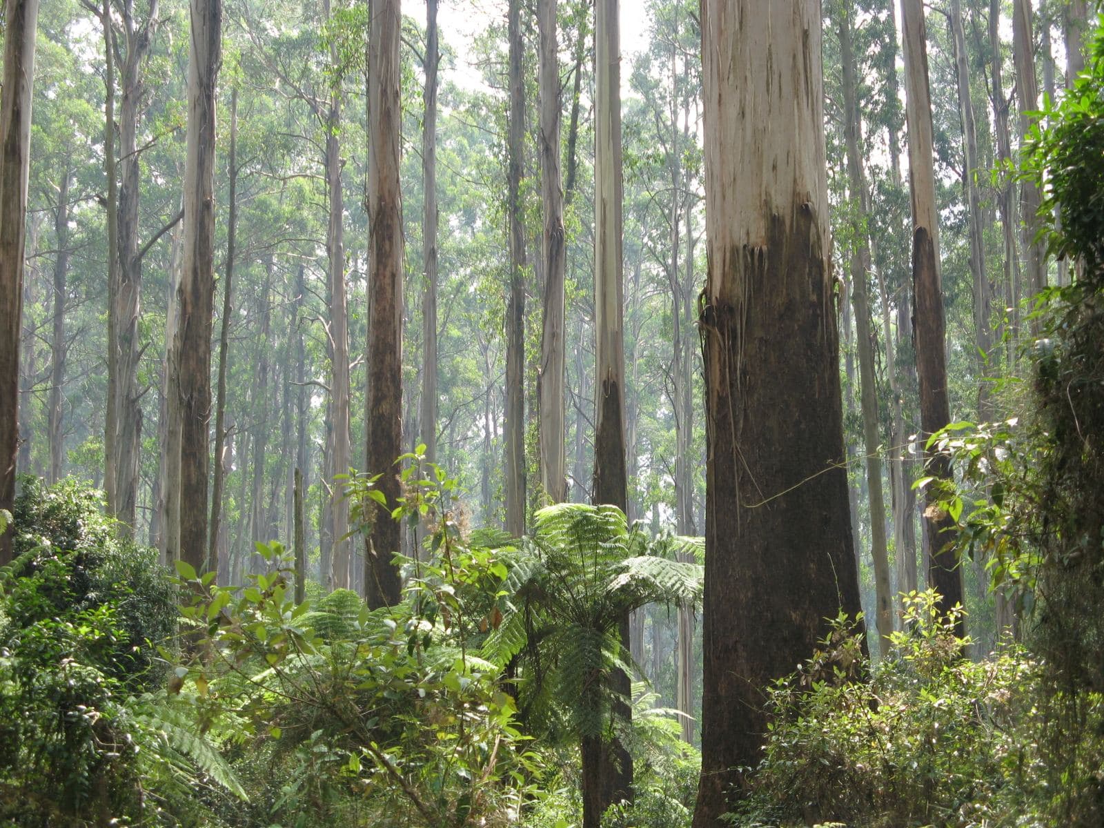
Ask for a quoteDandenong Ranges. Photo: Nick Carson, CC BY 3.0

Mast Gully
Before it was Upwey, the area was called Mast Gully, after ship masts cut from the gully in 1850. Mast Gully Road and Mast Gully Creek keep the name. It is now a residential suburb of about 6,800 people, with Main Street beside the station and Glenfern Road along the ridge.
Checked 25 October 2026 against Wikipedia: Upwey, Victoria.
Ten fires since 1922
Bushfires reached parts of Upwey in 1922, 1938, 1962, 1967, 1969, 1972, 1980, 1983, 1997 and 2009. Houses were lost in 1969, and blackened trees along Glenfern Road still show it. The Bushfire Management Overlay covers every part of Upwey on the planning map.
CFA's advice for those blocks is to keep woodpiles at least 10 m from the house, since a stack against a wall in summer collects embers. The fire season guide covers Total Fire Ban days.
Checked 25 October 2026 against Wikipedia: Upwey, Victoria, Vicmap Planning, the state's zone and overlay maps (DataVic), measured across the suburb, CFA: Landscaping for Bushfire (version 3, June 2022) and CFA: preparing for bushfire season.
Big blocks and small ones
About three fifths of Upwey is Low Density Residential. A small share, about one sixteenth, is Neighbourhood Residential with ordinary suburban lots, and those may have no spot 10 m from the house at all. There, smaller loads bought through the winter work better than one big autumn delivery.
The Erosion Management Overlay covers more than half of Upwey's residential land. If your drive is steep, say so when you ask for a quote, along with where the wood should be dropped.
Checked 25 October 2026 against Vicmap Planning, the state's zone and overlay maps (DataVic), measured across the suburb.
Smoke between neighbours
Where houses are close together, heater smoke reaches the neighbours first. Dry, seasoned hardwood makes less of it, and EPA Victoria advises storing wood at least 8 months under cover before burning it. Yarra Ranges Council takes smoke complaints on 1300 368 333, and its burning-off page sorts each address into an urban, bushland or rural category. The wood smoke guide has more.
Checked 25 October 2026 against EPA Victoria: manage smoke from wood heaters, Yarra Ranges Council: wood heaters, burning off and air quality and Yarra Ranges Council: burning off.
Up and down the highway
- Upper Ferntree Gully
- Mostly in Knox, which asks for certified heaters installed by a licensed person and requires a permit to burn off. The address decides.
- Belgrave Heights
- Birdsland Reserve sits on the boundary. Firewood can be collected only in State forest collection areas, so not there or in the national park.
Checked 25 October 2026 against Wikipedia: Upwey, Victoria, Vicmap Planning, the state's zone and overlay maps (DataVic), measured across the suburb, Knox City Council: wood heaters and woodsmoke, Knox City Council: burning off and Conservation Regulator: collecting firewood.
Ask for a quote
Tell us where you are and what needs doing, and we'll contact you as soon as possible.