Firewood in Sherbrooke
Sherbrooke is a few hundred people on the edge of an endangered rainforest. The wood for the heater has to come from somewhere else.
We connect you with a local firewood supplier who works in the hills.
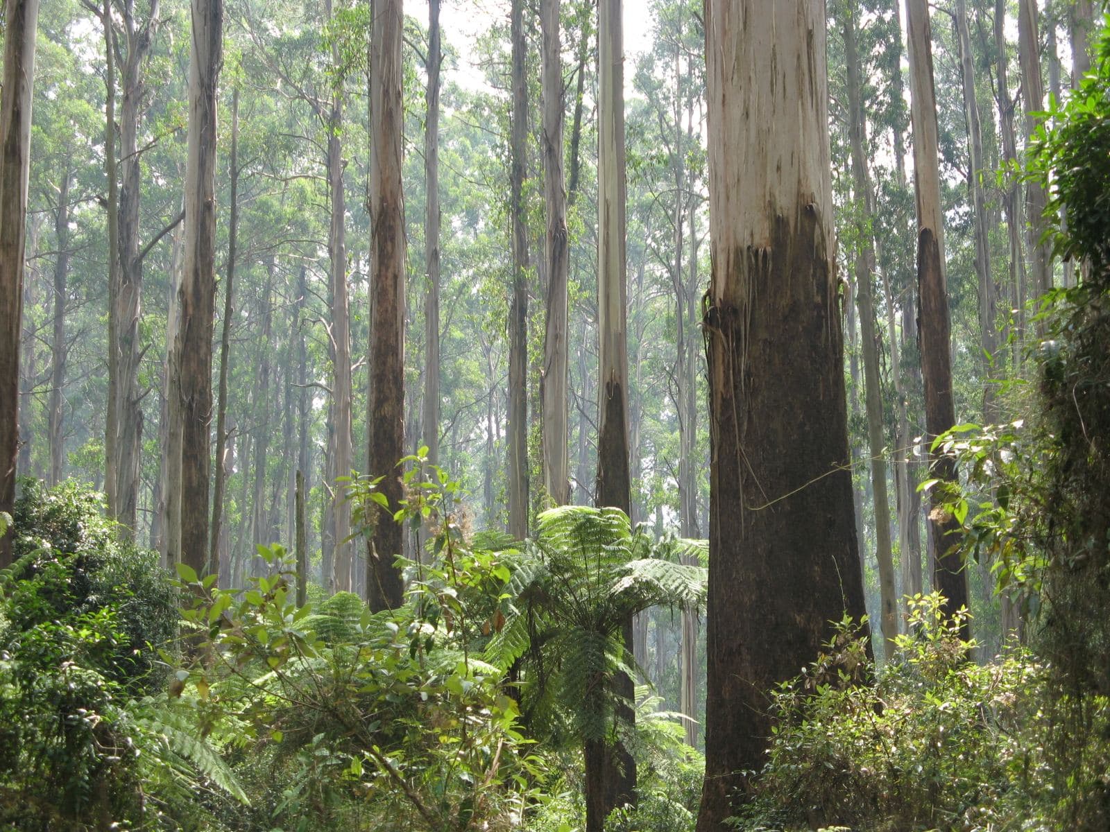
Ask for a quoteSherbrooke Forest. Photo: Nick Carson, CC BY 3.0

The forest stays standing
Sherbrooke Forest is cool temperate rainforest, listed as endangered and protected under the Flora and Fauna Guarantee Act. Its mountain ash can grow past 100 m. The forest is part of Dandenong Ranges National Park, and about four fifths of the locality is public conservation land on the planning maps. Parks Victoria doesn't allow firewood collection in national parks, fallen wood included. The collecting guide lists the State forest areas where it is allowed.
Checked 25 October 2026 against Wikipedia: Sherbrooke, Victoria, Wikipedia: Kallista, Victoria, Vicmap Planning, the state's zone and overlay maps (DataVic), measured across the suburb and Parks Victoria: using firewood.
The homes along the edge
The 294 residents counted in 2021 live on the sixth or so of the locality outside it. All of it is under the Bushfire Management Overlay. CFA's landscaping guide keeps woodpiles at least 10 m from the house, and its summer advice is to move them away from the walls, where they catch embers.
Checked 25 October 2026 against Wikipedia: Sherbrooke, Victoria, Vicmap Planning, the state's zone and overlay maps (DataVic), measured across the suburb, CFA: Landscaping for Bushfire (version 3, June 2022) and CFA: preparing for bushfire season.
A damp place to keep wood
Rainforest means shade and wet air. EPA Victoria wants heater wood dry and seasoned, stored at least 8 months under cover with air moving through the stack. Next to a rainforest that cover matters, and the drying guide has the detail. Yarra Ranges Council handles burning-off permits by address and takes smoke complaints on 1300 368 333.
Checked 25 October 2026 against EPA Victoria: manage smoke from wood heaters, Yarra Ranges Council: burning off and Yarra Ranges Council: wood heaters, burning off and air quality.
Beyond the forest
- Kallista and Ferny Creek
- The other sides of Sherbrooke Forest, with more farmland and more homes.
Checked 25 October 2026 against Wikipedia: Sherbrooke, Victoria and Vicmap Planning, the state's zone and overlay maps (DataVic), measured across the suburb.
Ask for a quote
Tell us where you are and what needs doing, and we'll contact you as soon as possible.