Firewood in Ferny Creek
Ferny Creek lost 42 homes to fire in 1997 and has its own bushfire siren. Where the woodpile sits in summer matters here.
We connect you with a local firewood supplier who works in the hills.
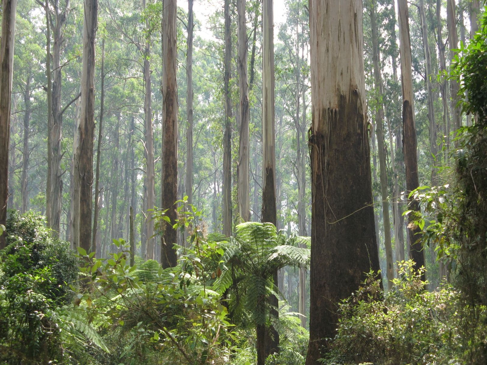
Ask for a quoteDandenong Ranges. Photo: Nick Carson, CC BY 3.0

After 1997
The fires deliberately lit in the Dandenong Ranges on 21 January 1997 destroyed 42 homes in Ferny Creek, and three residents died. The town now has its own siren, the Ferny Creek Bushfire Alert System, which is a warning and not a signal to evacuate.
The Bushfire Management Overlay covers all of Ferny Creek. CFA's advice for a woodpile in that setting is plain: keep it at least 10 m from the house, because in summer a stack by the wall is an ember trap. The fire season guide has the Total Fire Ban rules.
Checked 25 October 2026 against Wikipedia: Ferny Creek, Victoria, Vicmap Planning, the state's zone and overlay maps (DataVic), measured across the suburb, CFA: Landscaping for Bushfire (version 3, June 2022) and CFA: preparing for bushfire season.
Wet from April to October
Most of Ferny Creek lies between 400 and 500 m, around and south of Dunns Hill. The climate is cool and wet, a few degrees colder than Melbourne's lower suburbs, with rain peaking between April and October and snow once or twice a year. That is the season the wood is burnt, and the season it has to be kept dry. EPA Victoria asks for wood stored under cover, with air flow, for at least 8 months before it goes in the heater.
Checked 25 October 2026 against Wikipedia: Ferny Creek, Victoria and EPA Victoria: manage smoke from wood heaters.
Green wedge and park
About half of Ferny Creek is green wedge on the planning maps and about two fifths is public conservation land. The national park lies to the north and west, and Sherbrooke Forest to the east. Firewood can't be collected in either. Around a third of the locality is also under the Erosion Management Overlay, so a steep drive is common. Mention it when you ask for a quote.
Checked 25 October 2026 against Wikipedia: Ferny Creek, Victoria, Vicmap Planning, the state's zone and overlay maps (DataVic), measured across the suburb and Parks Victoria: using firewood.
Burning and smoke
Yarra Ranges Council sets burning-off days and permits by address, in urban, bushland and rural categories. Fire pits are allowed except on Total Fire Ban days, as long as the smoke isn't offensive. In the Fire Danger Period, CFA's conditions apply too. Smoke concerns go to the council on 1300 368 333.
Checked 25 October 2026 against Yarra Ranges Council: burning off, CFA: can I or can't I? and Yarra Ranges Council: wood heaters, burning off and air quality.
Next to Ferny Creek
- Tremont and Sherbrooke
- Mostly national park, the same council, and the bushfire overlay over every block.
- Sassafras and Upper Ferntree Gully
- Each partly in Knox (an eighth of Sassafras, two thirds of Upper Ferntree Gully), where heaters and burning off have their own rules.
Checked 25 October 2026 against Vicmap Planning, the state's zone and overlay maps (DataVic), measured across the suburb.
Ask for a quote
Tell us where you are and what needs doing, and we'll contact you as soon as possible.